AFS desktop software enables you to layer yield and moisture maps on top of aerial photographs along with precision farming information including: Trimble®, Ag Leader Technology® and GreenStar® proprietary systems. Customizable charts, graphs and layered maps can be derived for analysis of variety/hybrid, plant population, and soil topography. Dimensions and field-to-field yields can also be used for year-over-year comparisons.
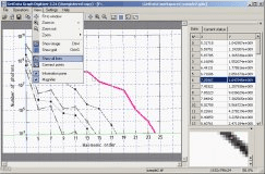
GetData Graph Digitizer gets raw data of visual graphs for analytical purposes


Comments